
National Register
of Historic Places
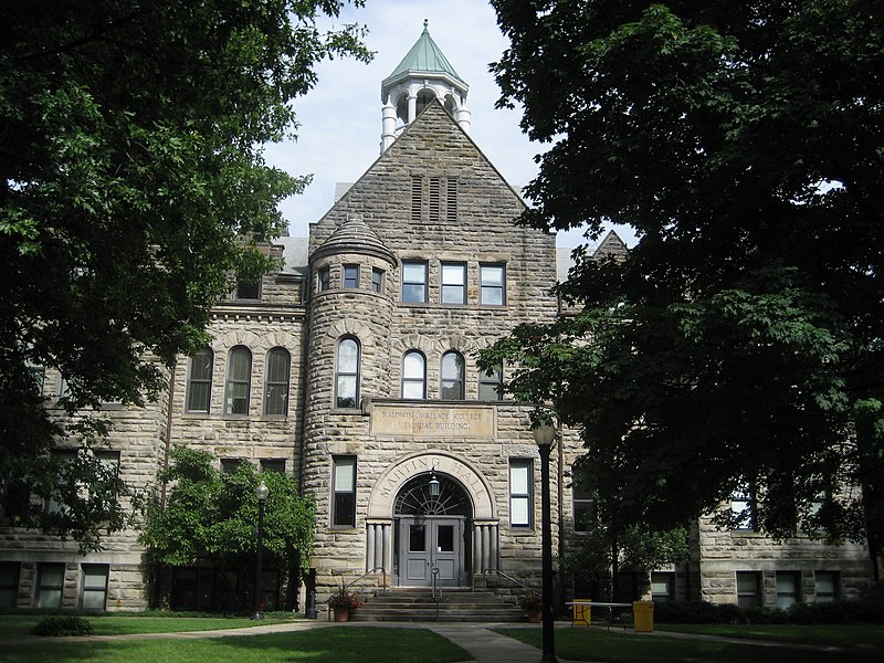
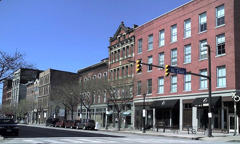
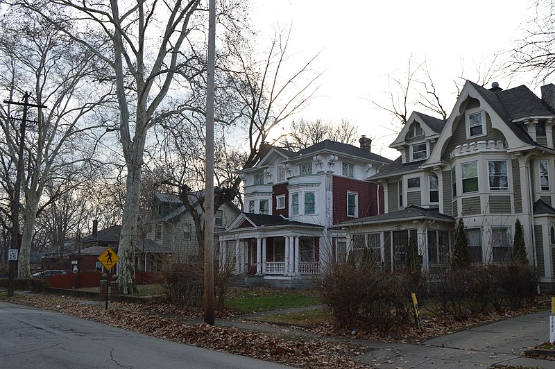
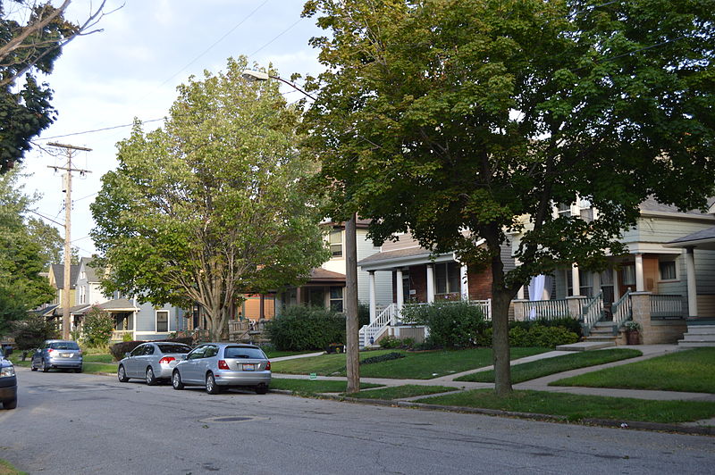
Several famous people are associated with these Cuyahoga County historic places including Elizabeth B. Blossom and Elmer Sperry.
Some of the country's most noteable architects helped create the Cuyahoga County places including J. Milton Dyer, J.C. Hamilton, Herman N. Matzen, Walker & Weeks, Barton R. Deming, Meyer Altschuld, Grieble, George A.,, J.W. Hradek, Albert Davis Taylor and H.O. Fullerton. Prominent architectural styles found in Cuyahoga Country are Late 19th And 20th Century Revivals, Late Victorian and Late 19th And Early 20th Century American Movements.


