
National Register
of Historic Places
1872
Congres creates first national park - Yellostone in Wyoming.
Congres creates first national park - Yellostone in Wyoming.
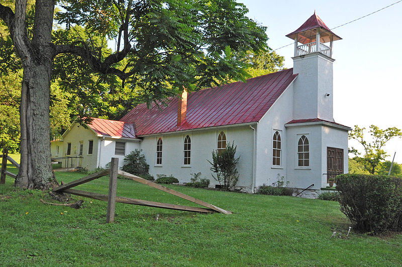
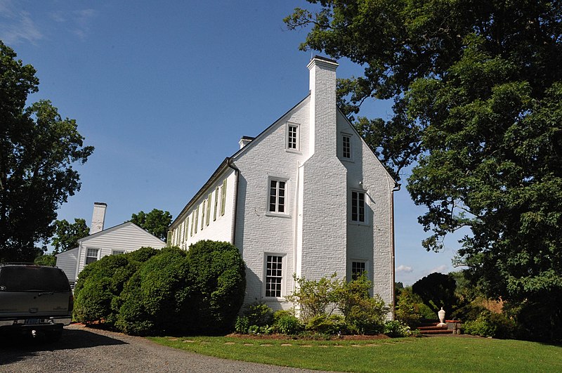
Many famous people are associated with these Fauquier County historic places including Robert Earll McConnell, William Allason, James Marshall, President and Mrs. John F. Kennedy and John Marshall.
Some of the country's most noteable architects helped create the Fauquier County places including Fuller, Arthur K., et al., Penrose V. Stout, William Lawrence Bottomley, W.J. Hanback, Arthur Little, W.H. Irwin Fleming, William Sutton, Henry Broadus Sr. Jones, Ambrose Hinson and J. Sanford Potter. Prominent architectural styles found in Fauquier Country are Federal, Greek Revival and Gothic Revival.


