
National Register
of Historic Places
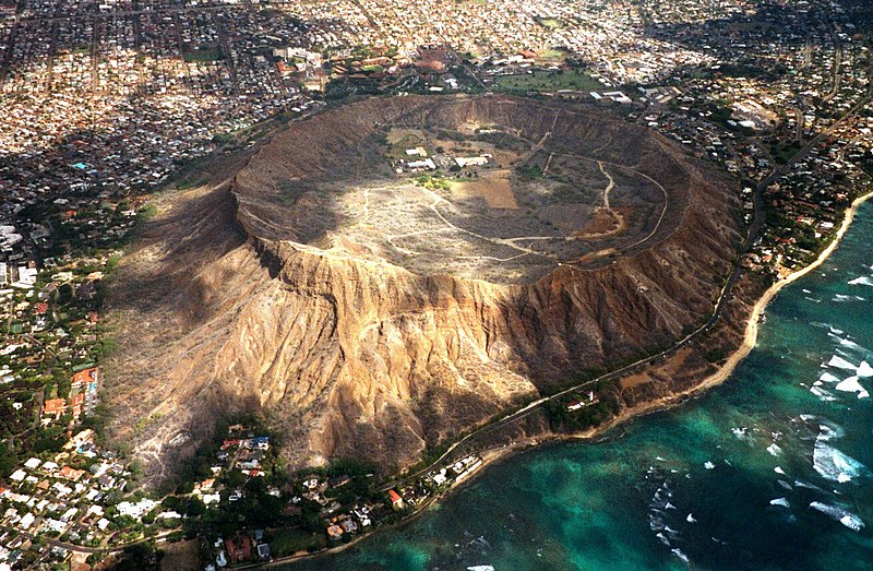
Prehistoric cultural affiliation(s) include Hawaiian and Native Hawaiian dating back to 500.
Many famous people are associated with these Honolulu County historic places including Kamehameha, Kaahumanu, William F. Hillebrand, Kahekili and H.W. Schmidt.
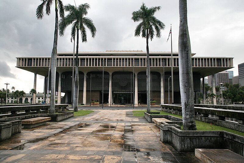
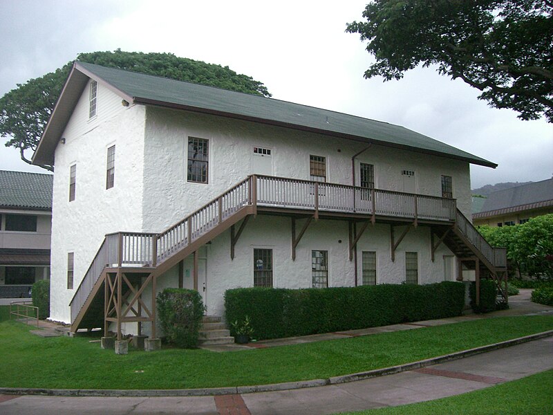
Some of the country's most noteable architects helped create the Honolulu County places including 3rd Engineers Quatermaster Corps, Gen. Macomb, Quartermaster Corps, US Navy, Furer, William, et al., Hart Wood and Harold L. Lyon. Prominent architectural styles found in Honolulu Country are Mission/Spanish Revival, Art Deco and Bungalow/Craftsman.


.jpg)
.jpg)