
National Register
of Historic Places
Several famous people are associated with these Multnomah County historic places including Wise, Dr. Jonah, et al., Amos King, William Sargent Ladd, Adams, Charles F. and et al..
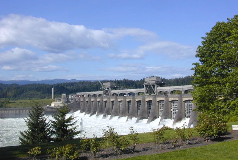
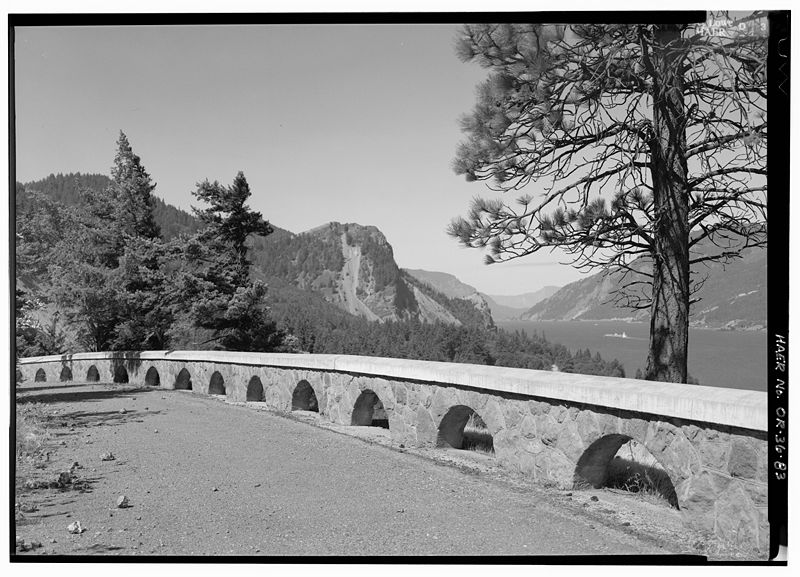
Some of the country's most noteable architects helped create the Multnomah County places including Oregon State Highway Department, Claussen & Claussen, U.S. Army Corps of Engineers, Herman Brookman, Isaac W. Smith, Whidden & Lewis, William C. Knighton, Strong and McNaughton, A.E. Doyle and Ladd Estate Co.. Prominent architectural styles found in Multnomah Country are Late Victorian, Late 19th And 20th Century Revivals and Late 19th And Early 20th Century American Movements.


.jpg)
.jpg)