
National Register
of Historic Places
1868
Fourteenth Amendment to the Constitution forbids states to deny equal rights to any citizen.
Fourteenth Amendment to the Constitution forbids states to deny equal rights to any citizen.
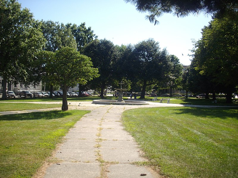
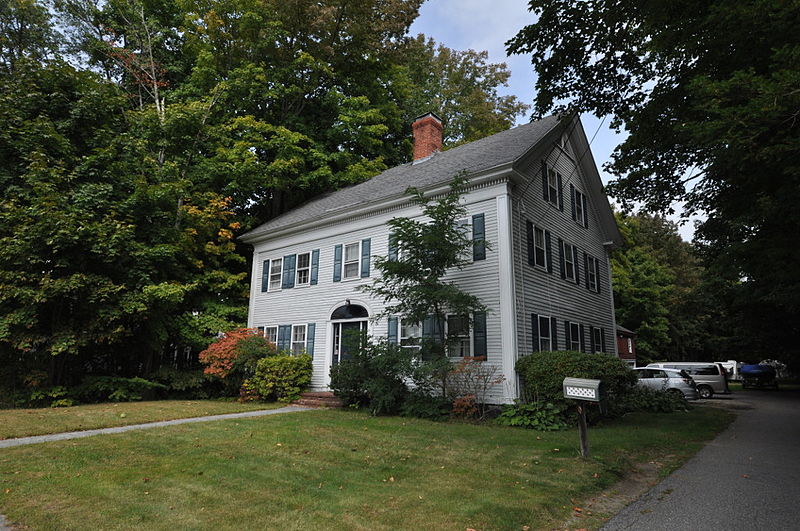
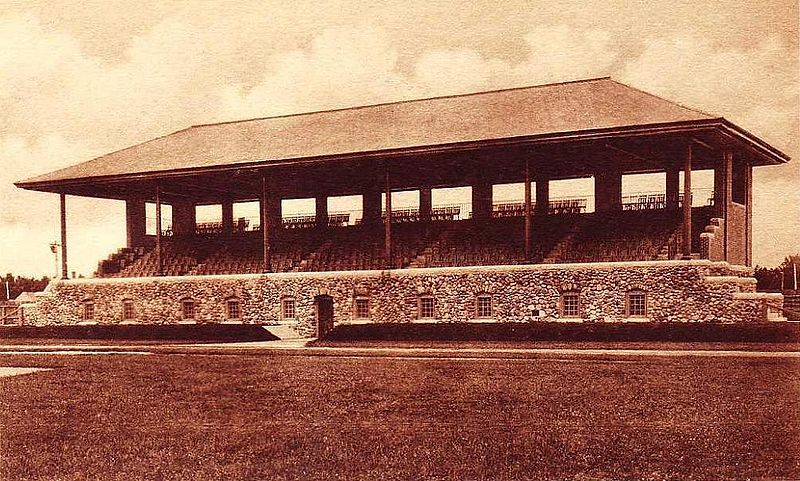
Several famous people are associated with these Cumberland County historic places including Samuel Dennis Warren, John F. Anderson and Isaac W. Dyer.
Some of the country's most noteable architects helped create the Cumberland County places including John Calvin I Stevens, Frederick A. Tompson, Leon Blake Merriman, Gridley J.F. Bryant, Charles R. Goodell, Fassett & Stevens, Olmsted Brothers, William Goodwin, Otis E. Moulton and Joseph How. Prominent architectural styles found in Cumberland Country are Federal, Greek Revival and Colonial Revival.


.jpg)
.jpg)