
National Register
of Historic Places
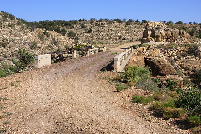
Some of the country's most noteable architects helped create the Coconino County places including Francis Wilson, Jesse Jefferson Howard, Carl Mayhew, Topeka & Santa Fe Railway Atchison, Flagstaff Lumber Co., Topeka Bridge & Iron Co., Arizona Lumber and Timber Co., Robertson & Schultze Schultze, Daniel B. Luten and Thomas Maddock. Prominent architectural styles found in Coconino Country are Bungalow/Craftsman, Colonial Revival and Romanesque.


.jpg)